Ag Leader Water Management Dictionary
Here's your chance to add to your newly acquired GPS knowledge! Check out these commonly confused and misused water management terms. After that, contact your local Soil-Max dealer and start managing your water in conjunction with Ag Leader's Intellislope Software!
- Pitch Plow-Adjusts grade and height by adjusting the pitch of the plow. Basically the pitch plow goes where it is pointing.
- Parallel Linkage Plow-This type of plow is raised and lowered by a parallel linkage.
- Trencher-Adjusts grade by digging depth. There are 2 types: chain and wheel trenchers.
- Plow Shear-The leading face of the plow.
- Plow Boot– The Plow Boot is responsible for taking the tile from the surface and guiding it to the soil trench. There are different boot sizes for varying tile diameters.
- Tile Feeder– An optional device that can be attached to a tile plow that will aide in supplying the tile to the plow boot. The tile feeder can help prevent stretched tile in the soil trench.
- Single Wall Tile-This is a single walled drain pipe that is corrugated. It is thinner and more flexible than dual wall tile. This type of tile can be perforated. It is most often used for laterals.
- Dual Wall Tile– This tile type is double walled. It has a corrugated outer wall molded to a smooth inner wall. This provides greater strength and flow. Most often used for main lines.
- Perforated Tile– Perforated tile is tile that has holes punched in it. There are multiple hole shapes and sizes for different field conditions and soil types.
- Sock Tile– A fabric sleeve that covers the tile. This increases the life of the tile and can help prevent soil from entering perforated tile.
- Main-This is the line that all other lines tie into. It is generally largest in size and carries the water to its final destination.
- Sub Main-A Sub Main is a line that laterals tie into when they do not go all the way to the main. The sub main is a secondary conveyance system that goes between the laterals and the main line. A sub main is not needed for every install.
- Lateral-A lateral is the line that is installed in the field that collects the water. The lateral is either tied to a sub main or directly to a main line where it empties.
- Grade-Grade or slope refers to the amount of incline a surface has compared to the horizontal. This is important to understand when tiling so that you can create a grade that is conducive to water flow.
- Start Hole– A hole that is dug so that the tile plow can be inserted into the ground to begin laying tile.
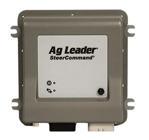
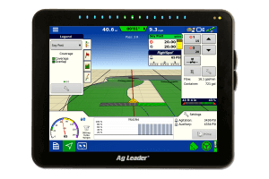
- Water Management Control Module (WMC Module)-This is Ag Leaders module that controls the tile plow for AutoTile.
- Controlled Drainage– Controlled drainage is when there is a structure such as a flashboard that is used to control the speed at which the water in the drainage lines exits the field. This allows for timely drainage while maintaining the proper amount of water in the field for crop utilization.
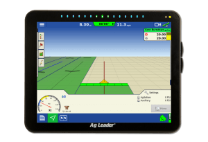
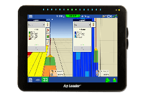
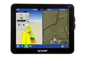
- Intellislope– Soilmax's trademark control system which utilizes both GPS and a slope sensor to control depth and grade.
- Pitch Control-Uses only the pitch sensor, no GPS, manual adjustments.
- Grade Control-Uses pitch sensor on pitch plows as well as GPS. This method is similar to using a laser, manual adjustments.
-
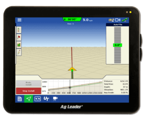
AutoTile-This is a mode of Intellislope. Uses pitch sensor and GPS, is self adjusting. Survey required.
- Min Depth- The shallowest point that AutoTile can install at any point on the run. Usually +/- 2ft
- Max Depth-The deepest depth that AutoTile can install at any point on the run. This is usually Plow/Tractor dependant.
- Min Grade- Used by AutoTile to create the target grade profile. Water flow dependant, generally 0.1%. This affects where the control system aims.
- Target Depth-point between the minimum and maximum depth that best allows water to flow. Depth at which AutoTile creates install profile. It can be adjusted to meet soil conditions.
- Survey-A survey is a topography map of the field that you plan to tile. This can be done using the Intellislope. Using the survey mode feature you can drive each lateral line path to map the topography of that particular line. The survey is used to determine the ground profile to base the min and max depths off of, that are required to create the correct grade.
- Pre-Ripping-This is required when using a small tractor that does not have enough power to install the tile as deep as desired, or when plowing through really tough soils. There must be a minimum of 1ft of untouched soil to final depth after the pre-ripping.
- Start Compensation-This starts the run off pitched up slightly to account for initial soil contact.
- Lift Station-A lift station moves water from the main line to a higher elevation outlet. This is required if the location where your mainline empties is at a higher elevation then said main line.
- Topography– Defined by Webster is “the configuration of a surface including its relief and the position of its natural and man-made features”. For the purposes of tiling topography refers to changes in elevation across the field.
- Reverse Outlet-Is used for extremely flat fields where the outlet could be on either end of the field.
- Switch Start-switches the starting location and the ending location of the survey. This feature is used for tiling downhill.
- Tile Plan-It is important to choose a tile pattern that best fits the topography of the land. There are four basic tile patterns: Parallel, Herringbone, random and double main. Parallel consists of parallel lateral lines that hook directly into the main line usually only from one direction. This pattern is best suited for areas that are relatively flat and regularly shaped. Herringbone consists of parallel laterals that hook into the main line at an angle usually from both sides. This is used in areas where the wetland is long and relatively narrow. Random consists of multiple laterals that connect into submains which connect to the main line. This pattern is used in areas that consist of multiple small wetlands. Double main consists of laterals that connect directly into one of two main lines. This pattern is used in areas where a flowing body of water divides the field.


