AgFiniti Update Brings Live Icons and Grid/Contour Mapping
Fall is a time for change, the leaves change colors, the weather changes, school starts and AgFiniti updates! In addition to adding the ability to print from AgFiniti Mobile, we’ve added some more tools to boost your operation’s efficiency.
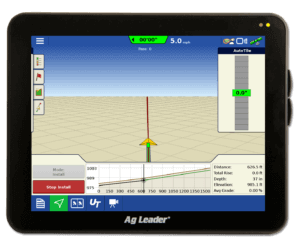
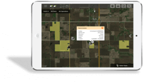
Location Icons: ever wondered how much of the field Dad has done? Or which side of the field you should park the wagons on? Now you can see right where displays are running in the field and where any iPads are that are logged into AgFiniti. See information like; who’s logged in, what operation the display is performing, how fast they’re going and even latitude and longitude!

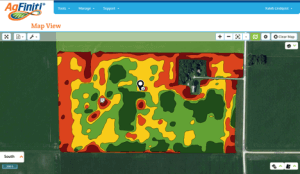
Grid/contour your maps: AgFiniti now has the ability to show your maps in a gridded or contoured view in addition to the current swath and spatial views. Find and determine management zones faster and easier with a different perspective!

Check out our webpage to learn how AgFiniti can help your operation! Want to learn more about AgFiniti? Check us out on YouTube and learn things like how to navigate AgFiniti Mobile, how to create an AgFiniti account, and more!


