Brush up on your GPS and guidance terms!
Just like any technology, precision ag can be a very technical, and sometimes it’s hard to keep up with all the acronyms and terms being tossed around. Talking with a dealer or with our tech support may have left you scratching your head over the lingo used. Here’s a chance to brush up on your GPS and guidance terminology – who knows, you might just impress someone with your knowledge!
AB Line
This pattern provides guidance based on an A and B point the operator selects on the run screen.
AutoSteer Ready
Refers to machinery with OEM equipment installed to aid in the vehicle being able to have autosteer functionality. This typically means a steer ready hydraulic block has been installed.
Assisted Steering
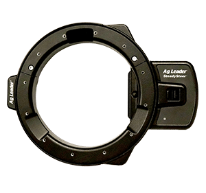
A motor is attached to the steering wheel and is automatically adjusted by the steering controller to stay on the guidance line.
Base Station
The base station is a receiver and transmitter that is stationary. It receives GPS information, corrects it and then transmits the corrected information to the rover.
Baud Rate
Bandwidth of message or the number of characters it contains
BR1 Min
i BR1 Mini is a mobile internet hotspot that runs on Verizon or GSM cell networks in North America. It’s used to provide internet access to any capable device, such as InCommand displays, from remote locations (where cellular signal is available). The BR1 Mini provides internet in the cab for easy access to AgFiniti and NTRIP RTK.
Convergence
The act of converging is when the satellites used for differential correction or base stations are matching up with those being recognized by the rover. This process determines if there are enough satellites in common for the best possible correction solution.
Correction by Cell
Uses a cellular internet signal to receive RTK correction information, examples include CORS and NTRIP. Correction by cell does not use a traditional radio base station but rather a base that is tied to the internet, requiring a data plan or network subscription.
CORS
(Continually Operating Reference Stations) A CORS network offers RTK differential correction information to be broadcast via the internet and can be accessed through any Internet enabled device.
DGPS
Differential GPS
Differential Correction
A technique to improve the accuracy of your GNSS signal by using a base station in a known location to determine GNSS errors and broadcast correction data.
Drift
GPS receiver accuracy over time. This can be measured absolute or pass to pass. Drift is caused by changes in satellite configuration, Earth’s atmosphere, operating near trees or other obstructions and satellite data errors.
ECU-S1
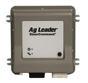
Electronic Control Unit used in SteerCommand® system and OnTrac3™ assisted steering system
EGNOS
European Geostationary Navigation Overlay Service is the European version of WAAS.
Elevation Mask
There is an actual physical elevation mask similar to that of the horizon line that blocks our view of GPS satellites after they go below the line. There is also an electronic filter that acts as an elevation mask. This means that any satellites below a certain degree will not be used in the final position.
Galileo
Galileo is the European GNSS network being developed by the European Space Agency. When fully complete, projected in 2020, Galileo will consist of 30 satellites. Today, Galileo has 22 operational satellites
GNSS
Global Navigation Satellite System is a navigation system with global coverage. GNSS is a method of improving the navigation systems attributes, such as, accuracy, reliability and availability through the integration of external information into the calculation. GNSS 1 consists of GPS, GLONASS, WAAS, SBAS and EGNOS.
GPS
The Global Positioning System is a US owned utility that provides position, navigation and timing. There are three segments: the space segment, control segment and user segment. The space segment consists of the satellites in space, the control segment consists of the people who manage and maintain the space segment and the user segment are those of us who use GPS. GPS is what allows us to map fields and auto-steer equipment.
GLONASS
GLObal NAvigation Satellite System is the Russian owned utility equivalent to GPS. This system can be used in the US if your receiver is set up to receive GLONASS signal.
Guidance Pattern
The established path your guidance or steering system uses to determine subsequent passes.
GLIDE
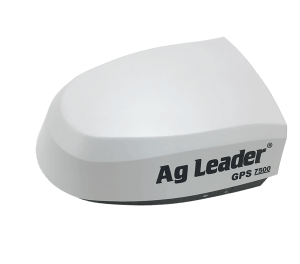
A positioning algorithm that does not require differential signals such as WAAS or ENGOS. Available worldwide with the GPS 6000, 6500, 7500 and 6500, 7500 Relay receivers, GLIDE creates smooth position for steering and mapping and is especially suited for areas of high ionospheric disturbance.
Hertz Rate
How often the message is sent. 1 Hz equals 1 message per second.
HDOP
(GPS) Horizontal Dilution of Precision
Heading
GPS Information readout that displays the vehicle’s heading, in degrees.
Integrated Steering
Steering is controlled by a hydraulic steering valve that is automatically adjusted by the steering controller to stay on the guidance line.
Manual Guidance
Operator still steers the vehicle but uses a lightbar as visual guidance to stay on the guidance line.
MSAS
(Multi-functional Satellite Augmentation System) The SBAS differential correction service in Japan.
NMEA
One way GPS communication that the GPS receiver receives from the GPS satellite. Messages contain information about Latitude, Longitude, Fix Quality, Number of Satellites in view, HDOP, Altitude, Speed and other information.
NTRIP/CORS
Network Transport of RTCM via Internet Protocol and CORS: Continuously Operating Reference Stations are forms of RTK differential correction that are done through the use of a cellular modem and base station network. This means that instead of using the traditional base station and radio to send correction data to a rover, data is sent using the internet to a cellular modem with a data plan.
Nudge
Allows you to adjust the swaths by a specified distance while leaving the AB line in its original location.
Pass-to-Pass Accuracy
Differential correction accuracy within a 15-minute time period.
PDOP
The PDOP Mask sets the maximum Position Dilution of Precision (PDOP) for which any 2D or 3D solution is made.
PRN
Pseudo Random Number- A numerical identifier used by the GPS receiver to determine which satellite it is looking at.
PRL
Preferred Roaming List (PRL) refers to the cellular provider or set of providers that you will use to get a cellular signal for NTRIP/CORS correction.
Repeatable Accuracy
Differential correction accuracy from day to day, month to month, and year to year.
Repeater
Repeats the RTK radio signal to get around obstructions such as trees or buildings. Does not increase accuracy at further distances.
Rover
The industry refers to the moving equipment as the rover. For example, a tractor with receiver would be referred to as the rover.
RTK
(Real-Time Kinematic) A differential correction system capable of sub-inch repeatable and pass-to-pass accuracy. Generally, RTK requires a base station in close proximity (within 20 miles or less, preferably) to your rover.
SBAS
Satellite Based Augmentation System is a system that supports wide-area or regional supplementation through the use of additional satellites broadcast messages.
Shift
Allows you to adjust the original AB line location and save the changes.
SmartPath®
This pattern provides guidance based on the last curve driven. You can have multiple guidance patterns loaded on the run screen at the same time. It allows you to move to a different area of the field, and then resume a previous guidance pattern later without having to reload the pattern. Can have up to 10 different guidance patterns loaded on the run screen.
StableLoc®
A feature that allows the GPS 6000, GPS 6500, GPS 7500 and GPS 6500, 7500 Relays to operate down to the next highest correction source to allow for continued operation. When the higher correction source becomes available again, StableLoc will smoothly transition back to the guidance line.
SteerCommand®
Integrated steering system available from Ag Leader. SteerCommand requires an Ag Leader branded GPS 6500 or GPS 7500 receiver. The system uses the ECU-S1 which contains 3 axes Accelerometer, 3 axes Gyro, and 3 axes Compass sensors. Operates via Ethernet
SteerCommand® with DualTrac™
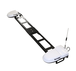
SteerCommand with DualTrac is an extremely accurate, top-of-the-line steering system capable of low-speed steering and high accuracy repeatability. It is comprised of two GPS 7500 RTK antennas, so heading is always known – allowing accurate steering at very low speeds (0.05 MPH/.08km/h.
TDOP
(GPS) Time Dilution of Precision
TerraStar-C
Worldwide, decimeter level positioning service available with the GPS 6500 and GPS 6500 Relay receivers. Featuring 1.5in (4cm) pass-to-pass and 2-4” (5-10 cm) repeatable accuracy.
TerraStar-C Pro
Similar in operation and functionality as TerraStar-C but with improved accuracy and quicker convergence. TerraStar-C Pro is available exclusively for the GPS 7500 receivers.
TerraStar-L
TerraStar-L is a correction service available for GPS 6500 and GPS 7500 receivers. It offers worldwide coverage of 6-8” (15-20cm) pass-to-pass horizontal accuracy and 15” (40cm) repeatability. 5-minute convergence and GPS and GLONASS signals are also incorporated. The subscription to TerraStar-L is available in one-year increments from Ag Leader. TerraStar-L is best positioned for areas that do not have a reliable correction source or customers that are dissatisfied with current SBAS corrections.
Throughput
The percentage of RTK data packets received from the RTK correction source relative to the amount of RTK data packets sent
Tramline
Planted or unplanted parallel paths through a field for the purpose of controlled traffic. Used to aid in machine guidance, minimize compaction and to reduce overlapping application.
WAAS
Wide Area Augmentation System is a supplement to GPS created with the goal of improving accuracy, integrity and availability of GPS correction in the United States.
VRS
Virtual Reference Solution requires the rover to send a latitude and longitude position to the VRS network; the network then creates a computer generated base close to the rover that is used for correction.


