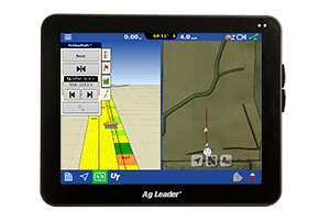
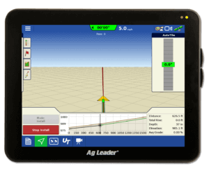
Crop Scouting Using All Your Precision Ag Data – Part 2
As we seek new ways to increase efficiency within our operations, utilizing precision technologies for crop scouting becomes appealing. In a previous blog we discussed utilizing your precision ag data while crop scouting. While it’s important to have access to that reference data in the field, you may ask yourself how can I use GPS technology to precisely and more efficiently record crop and pest observations? Or how can I precisely map and integrate my crop sensor readings into precision scouting software? How can I create custom tailored scouting reports and securely archive scouting data?
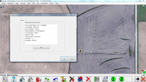
SMS Mobile software features a standard set of crop scouting attributes to easily document growth stage, height, condition, population, damage, pest count and other details regarding that observation area. Being able to choose from pre-defined pick lists saves you valuable time in the field vs manually noting these details. SMS Mobile also provides you with the flexibility of creating custom attributes for your operations unique needs. This allows SMS Mobile to be used across many different types of operations from corn fields to vineyards.
Instead of using an additional program to record crop sensors values, configure the sensors with SMS Mobile to precisely map and record readings in the field. Sensor readings can be recorded from many different types of sensors including SPAD meters, OptRx crop sensors, Holland Scientific crop sensors, Greenseeker crop sensors, Veris or any sensor that outputs a text string.
Save time by generating scouting reports from SMS Mobile or more specialized reports using the SMS desktop software in conjunction with the SMS Mobile software. Avoid double-entry by easily syncing with SMS and populating recorded observations in a detailed, custom tailored report. Once sync’d, scouting records are saved and can be accessed later to compare against current scouting activities and used to analyze against harvest data to know exact yield impact. In place of marking troubled areas with flags or handing operators paper copies of chemical application locations; generate precise, geo-referenced, application prescriptions to navigate back to the exact location.
Interested in learning more about SMS Mobile? Please visit our website to learn more, signup for a free introduction to SMS Mobile webinar, download a free trial version of SMS Mobile or contact us at 515-232-5363 or SMSsupport@agleader.com or reach out to a local Ag Leader Dealer.
*The SMS Mobile Software is available for operating systems Windows XP, Vista, Win 7, Win 8 (NOT RT) and Windows Mobile 5.0 to 6.5 platforms.


