How to leverage a free AgFiniti® account
Data touches every corner of the farm today. It’s also why your information needs to be accessible wherever you are. Whether you’re in the cab, office, or somewhere in between, AgFiniti, Ag Leader’s cloud-based platform, puts real-time, historical information at your fingertips.
“AgFiniti is a feature rich, affordable, and reliable solution for wireless connectivity any operation will find value in,” says Luke James, Dealer Success Manager. “Not only will a grower benefit from the many features it has to offer, but the platform will also enhance the worth of his existing precision ag equipment.”
The 10 features listed below are free simply by creating an AgFiniti account.
From the InCommand display
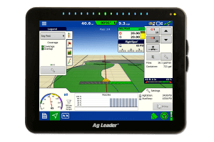
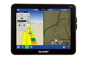
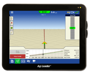
Satellite imagery. This is a free online service any user with an AgFiniti account and internet access on an InCommand display can use. Each time a field is loaded to the mapping screen, the satellite image for the field and surrounding area is downloaded and displayed.

Seamless firmware updates. The InCommand firmware version 6.5 or newer allows the user to update the display firmware directly from AgFiniti.
Wirelessly transfer data. This allows you to send data wirelessly from the cab. Files are backed up on a secure AgFiniti account and can be accessed from your smartphone or tablet in the field or at the office.
Remote support. This feature streamlines communication in the field by allowing a dealer to view your display from anywhere, so they can see what you see. They can walk you through calibrations, equipment setup, and troubleshooting for fast and efficient service.
From the AgFiniti Mobile app for the iPad
View/Print maps and reports. AgFiniti Mobile, which is also free, gives growers access to maps and reports from an iPad without having to learn dedicated farm management software.
Create field notes with pictures. Users can make notes on problem spots in a field. The camera can be used to take pictures of those problems and then associate the picture with the location.
Query/Overlay maps. View map statistics for your current GPS position or a selected location related to planting rates, yields, soil types, hybrids, fertilizer treatments, and more. Overlay your maps for a better understanding of observations. While layering maps adjust transparency, reorder, and view different map types for improved visualization.
Direct sync with display. View data generated on your Ag Leader display with AgFiniti from your mobile device. Sync data from multiple displays on an iPad to see all your information in one place.
From AgFiniti.com
Share data with trusted advisors. AgFiniti allows growers to share data in several different ways. You can share an individual file via email, share a specific file with another AgFiniti user, or automatically share your data with a trusted advisor.
Store up to 5 GB of data.
Data security
“What also makes AgFiniti different from other solutions on the market is our stance on data privacy,” James says. “We know growers value their privacy and that’s why with AgFiniti the data is 100% theirs.”
Ag Leader supplies a secure storage and transfer system for you as a service, but we do not send that data to any other entity or consume it ourselves. We fully believe your data belongs to you. If you choose to share it with your trusted advisors, you have control over that information.
Want more? Once you’ve signed up for a free AgFiniti account, you can activate an AgFiniti Essentials trial – free for 30 days – to unlock more tools and features that are beneficial to your operation. •


