Meet me at the driveway with the really tall tree…
Have you ever gotten directions from someone who referenced land marks rather than distance and directions? In my earlier years I had a summer job at our local coop tendering some late spring spraying. I thought I knew the area fairly well, so I didn’t hesitate. One day as I approached the field the radio lit up and the sprayer operator was telling me that I drove past the driveway that he wanted to meet me at… Funny… the “really tall” tree that he gave me directions for before we left the coop was no where to be found, however the house that was across the road was there for many years.
I told you that story to exemplify how one person who knows the area, and is used to certain landmarks, can forget that others may need a more precise description. The tree I was given directions to had fallen down the previous winter. However, if he had showed me on a satellite image of the field and surrounding roads and landmarks, I would have seen there was an acreage across the road from where he wanted to refill. Recently, at the same coop, they have started giving a $1 off per acre of the application charge if the grower provides a map with a boundary and satellite image of the field. Hmm…do you suppose more trees have fallen down in recent years? ![]()
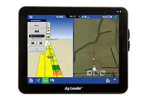
Below is a video that walks you through downloading satellite imagery automatically for your fields within SMS. There is a wide range of uses for them, and their benefits are virtually endless.


