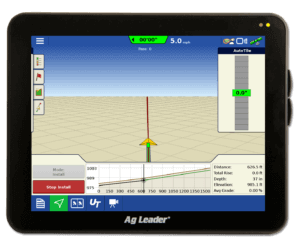
New Features Available in AgFiniti
AgFiniti Release Highlights
Export more to your display
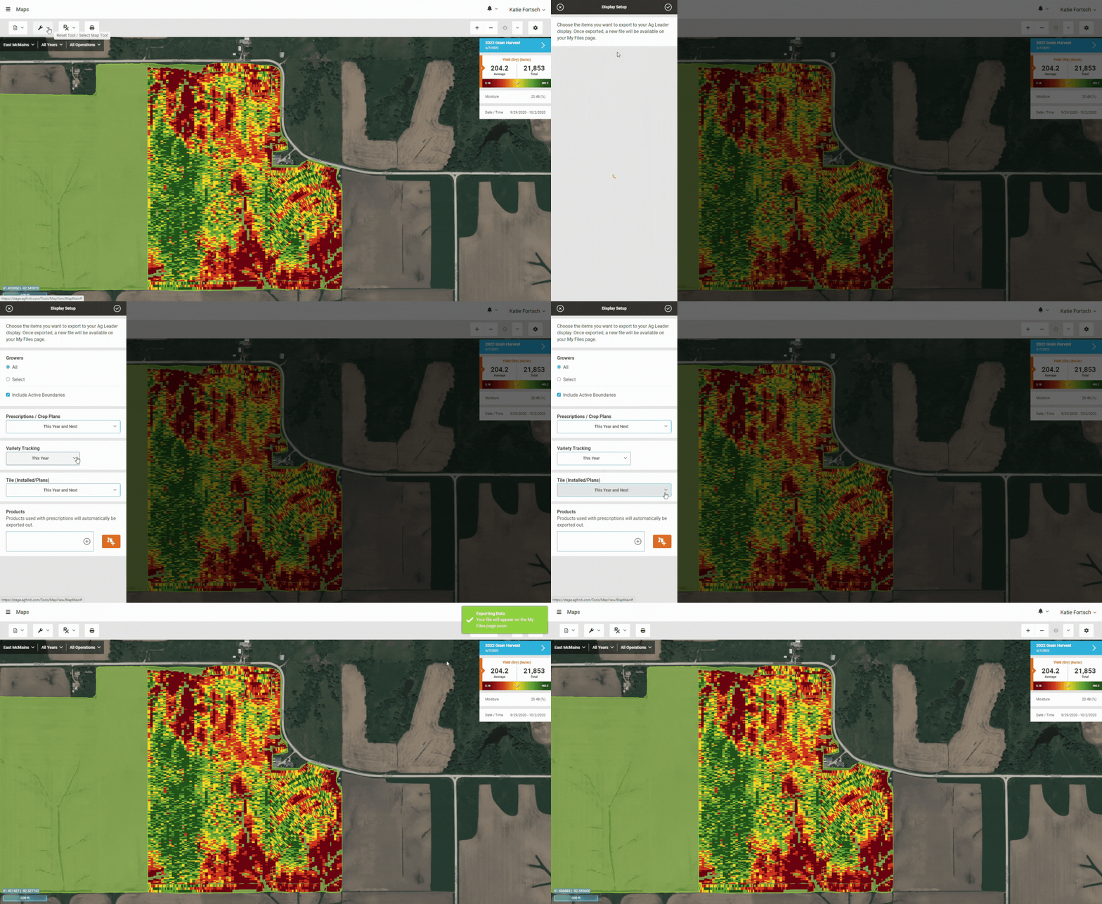
AgSetup files can now include Variety Tracking, Installed Tile, Tile Plans, and Crop Plans.
Variety Tracking made easy! Run a mixed-fleet and need to convert your non-Ag Leader planting data to a variety tracking map for your Ag Leader display? Upload your planting data to the My Files page and use the Export tool on the Maps page.
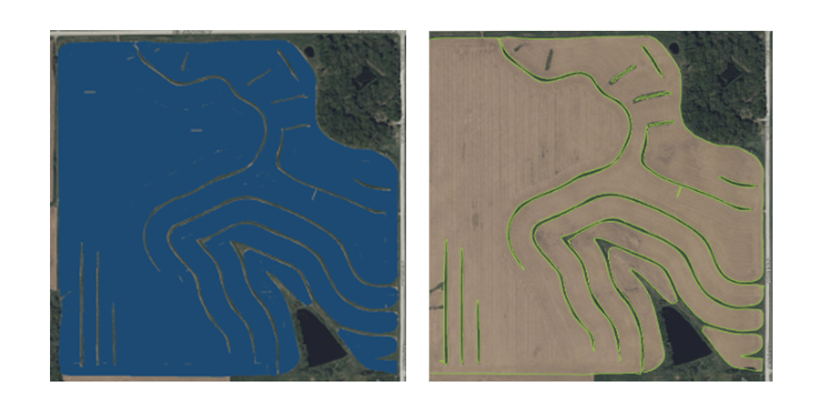
Easily trace internal boundaries
Effortlessly find your data
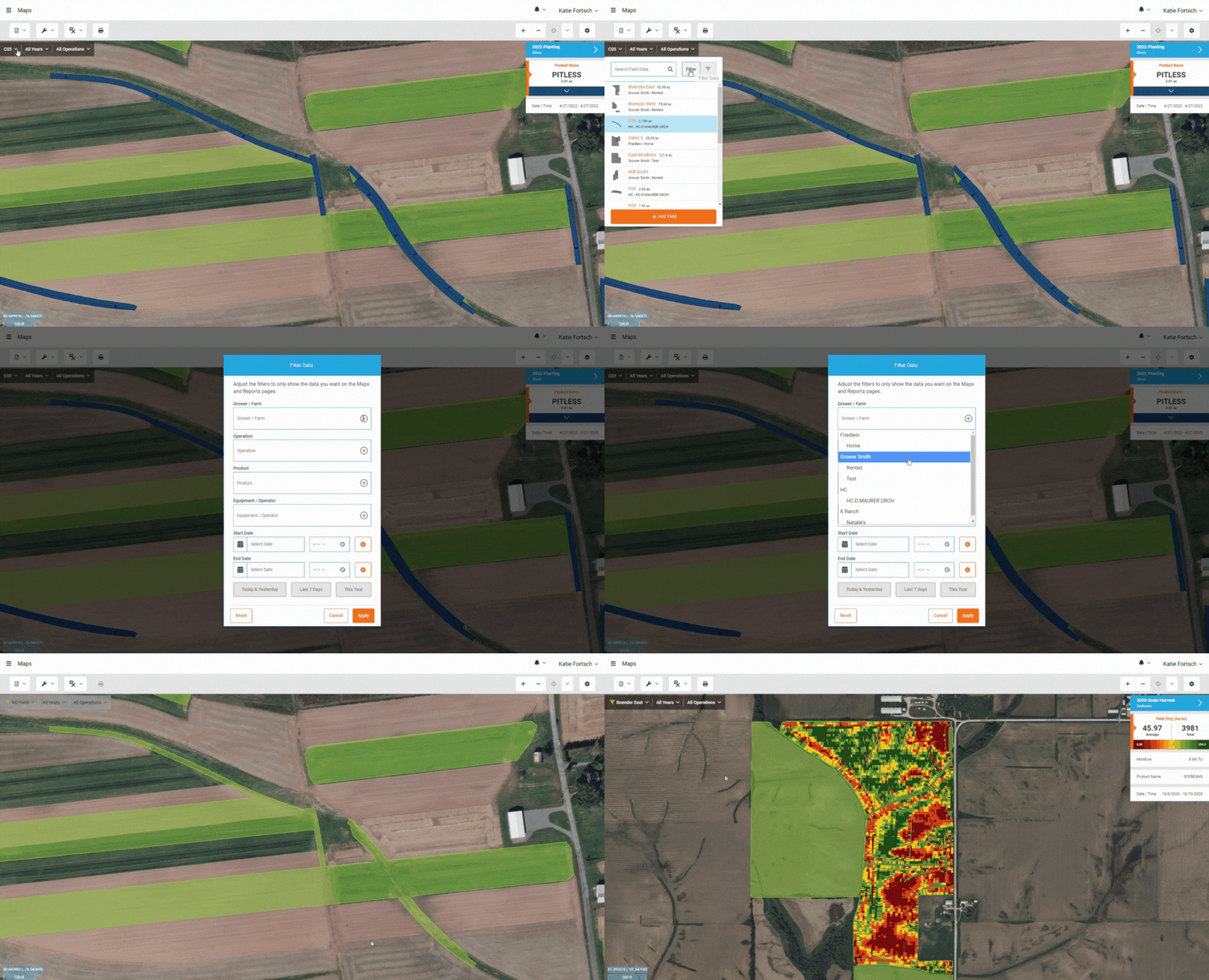
Finding the data you’re looking for is now easier than ever before with the new filter tool in the Maps and Summary Report pages. Quickly filter by grower/farm, operation, product, equipment/operator, or date/time.
Additional noteworthy features:
- Simplify In-season scouting decisions – Export the Sentinel-2 satellite image analysis from SMS v23.5 and take it with you to the field to determine where to target your scouting efforts.
- Better application legends – The Average Value legend mode provides a better default map for application data. No button presses required!
Notice for Ag Leader Integra and Versa Users
- Files can still be manually uploaded to the My Files page
- Location tracking can be done for vehicles without an InCommand® display with the AgFiniti and AgFiniti Mobile apps
For next-level connectivity features like DisplayCast®, talk with your dealer about upgrading to InCommand displays.

Reminder: Purchase or renew your AgFiniti or SMS licenses online!
Don’t go to the field without AgFiniti! Easily purchase or renew licenses right from your AgFiniti account with a credit card. For convenience, your license will be set to autorenew unless modified.


