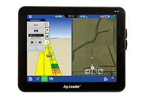
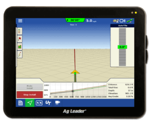
Precise, up-to-date field boundaries are an integral part of your precision ag program
Accurate field boundaries are the foundation of your precision ag program.
Simply put, field boundaries are lines that mark the outside edges of your field, as well as any waterways or other obstacles inside the field. Not only do these boundaries give you an accurate measure of the actual acres in a field, but they also allow you to calculate chemical, nutrient, and planting requirements efficiently and precisely.
“Today, it’s not uncommon for farmers to plant six to eight inches into a waterway to ensure they cover as much ground as possible,” says Chris Gathman, Operations Leader with CENTROL Precision Ag, a division of Key Cooperative. “However, farmers are starting to realize they are not getting the full benefit from the planter because their boundaries are not accurate.”
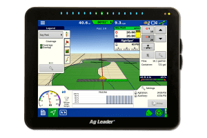
As innovations like Ag Leader’s RightSpot™ and TurnPath™ enter the market, the need for accurate field boundaries is becoming even more evident.
“When you move to a sprayer, you must be as close to perfect as you can possibly be with an application,” Gathman says. “Once a field is mapped, RightSpot can turn each nozzle off as it passes through a waterway or outside of the field boundary, so that application is precise.”
“Farmers are starting to realize they are not getting the full benefit from the planter because their boundaries are not accurate,” says Chris Gathman, Operations Leader with CENTROL Precision Ag, a division of Key Cooperative.
As innovations like Ag Leader’s RightSpot and TurnPath enter the market, the need for accurate field boundaries is becoming more evident.
Seizing an opportunity to help farmers
With locations in 13 communities and six counties across Iowa, Key Cooperative found that creating boundaries can be a challenge for farmers in their area because they either aren’t set up for it or don’t trust themselves to do it accurately.
“One of the hardest things to remember to do is enter the offset distance every time you switch to another boundary – whether inside or outside,” Gathman says. “Last year, we had a farmer who forgot to do that and didn’t realize it. When he planted, his planter was planting 2 ½ feet from the edge. I went back and measured. Sure enough, the distance he was off was half the distance of the UTV he used to create the boundary.”
The region also has a lot of terraces, waterways, and small fields, which can take a great deal of time to map. Something farmers simply don’t have a lot of.
“How long it takes to create a field boundary really depends on how many things you must outline and how rough the terrain is,” he says. “For example, it can take 40 minutes to create a boundary for a 300-acre field that has five waterways and is flat. It can also take 40 minutes to do a 40-acre field that has several terraces, waterways, and hills.”
It wasn’t long before Gathman realized there was an opportunity to help farmers. Toward the end of 2023, the Cooperative began offering a field boundary service.
The original plan was to start small and cover around 3,000 to 4,000 acres before spring 2024. As word spread about the service, which is based on a per acre fee, that number jumped to nearly 10,000 acres.
READ MORE: How to create a field boundary
Setting up for success
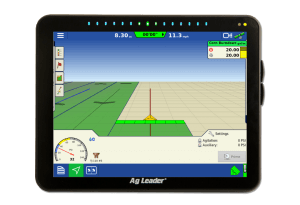
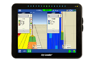
Before he heads to a field with his Polaris Ranger equipped with RTK, an Ag Leader® InCommand® 1200 display, and SMS™ software, Gathman likes to have a conversation with a farmer to set expectations.
“You can’t run a perfect boundary,” he says. “It takes two or three years for the grass to grow where it needs to or get rid of it where it shouldn’t be, so I try to explain that it may look a little off at first but to bear with me. A farmer may need to clean some edges up with a four-wheeler sprayer, but he shouldn’t go crazy. He just needs to knock the weeds out to allow the grass to grow in.”
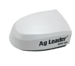
Gathman also wants to know what monitor and GPS a farmer is planning to use, so he can verify everything is going to work together.
“Nobody wants to pay to have a boundary run and then find out when the corn comes up that they missed an area because the boundary was incorrect,” he says, adding that he prefers to use an ATV or UTV because it’s nimbler.
“A tractor can’t take the corners of a field like an ATV or UTV can,” Gathman adds. “You also can’t go as fast along a fence line or get close to the edge of a field with a tractor like you can with the Ranger.”
While his normal speed to capture boundaries is around 15 to 20 mph, Gathman says he is always looking at how much he can increase speed without sacrificing accuracy.
“You have to test the limits,” he says.
The future of field boundaries
Because establishing accurate field boundaries is a relatively new concept, Gathman says there is still a lot to learn, especially when it comes to how often fields should be redone.
“We figure boundaries will need to be redone every four to five years minimum, but it could also be every 10 to 12 years. It all depends on the changes a farmer makes in a field. Did a waterway get reshaped? Was a waterway deleted or added?” he explains. “As the need for accurate field boundaries continues to grow, we’re all trying to figure this out together.” •
DEALERSHIP AT-A-GLANCE
Company: Key Cooperative
About: Key Cooperative’s roots date back to 1918, when Iowa farmers came together to purchase goods and services as well as collectively market their grain. Through the years, the cooperative has added specialized equipment to its portfolio, so it could handle and apply crop nutrients as well as new chemical crop protection offerings.
Today, the member-owned cooperative, which serves more than 1,700 farmers and 10,000 customers in 13 communities and six counties across Iowa, has also become a center for innovation and knowledge sharing. It uses resources like the land grant university system, field trials, and industry expertise to bring proven, profitable strategies to the farm.
Website: keycoop.com


