Topography Mapping
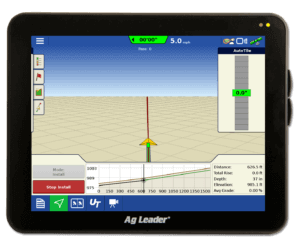
The arrival of Ag Leader® Integra and Versa™ firmware version 4.5 brought with it the ability to create a dedicated Topography map. With this new feature a topography map, which is basically an elevation map, can be generated while the display is in any operating mode, such as tillage, planting, application, etc. These topo maps can be very beneficial for creating and installing tile runs using the Intellislope tile plow control system, and are now easily obtainable right from the display!
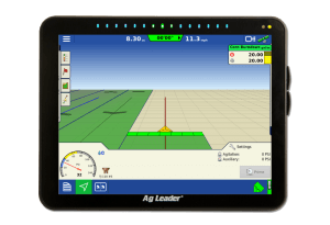
The display must be on firmware version 4.5 or greater and be connected to an RTK correction source for the GPS to begin generating the topography map; simply select the “Topography” button found within the “Field” tab on the run screen and select “New Survey”.
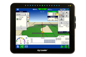
When the topography mapping begins, the operator will see “points” being dropped behind the vehicle icon on the run screen. These points signify that the display is collecting the elevation data needed to create a topography map. This elevation data can be collected across the whole field or just certain parts of the field based on the operator’s needs.
{image1}
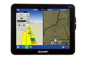
Once the desired area is mapped; this topography map can be viewed as a background layer during any operation, and can be toggled on and off by simply checking/unchecking the topography option within the “Map Options” window. This data can also be imported into the SMS software to assist in tile plan design using the Water Management module.
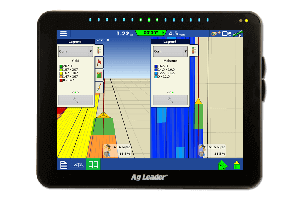
After a topography map is created, you can edit the legend and color scheme by clicking on the legend when the topography map is selected within the legend tab’s drop down menu. You can chose between a color scheme of brown or blue-white-red, as shown below, and customize the legend ranges however you chose.
{image2}
{image3}
To learn more about the new Topography map feature and other exciting features, visit the Ag Leader website, email us at support@agleader.com, or call us at 515-232-5363.


