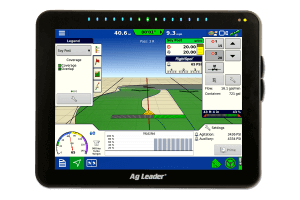
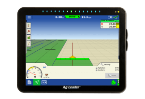
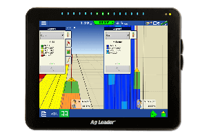
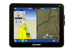
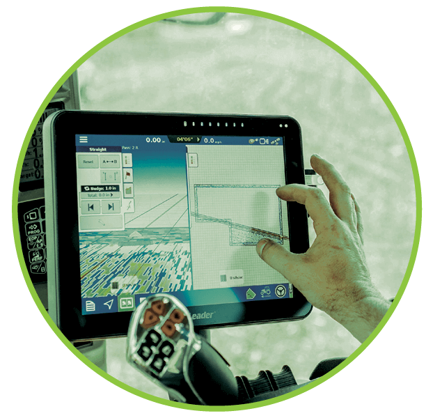
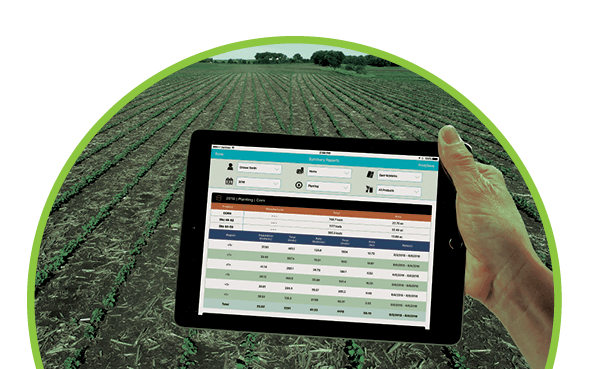
You’re on the go 24-7, your field information should follow suit.
You’re on the go 24-7, your field information should follow suit.
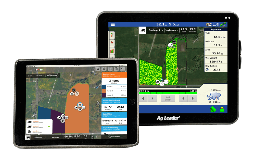
ALL your maps, from all
your displays, in one place.
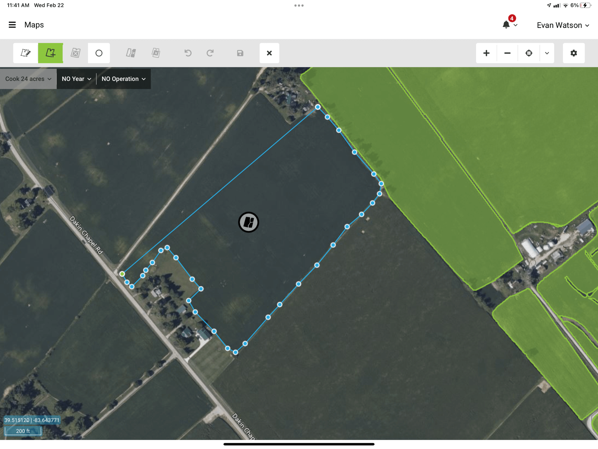
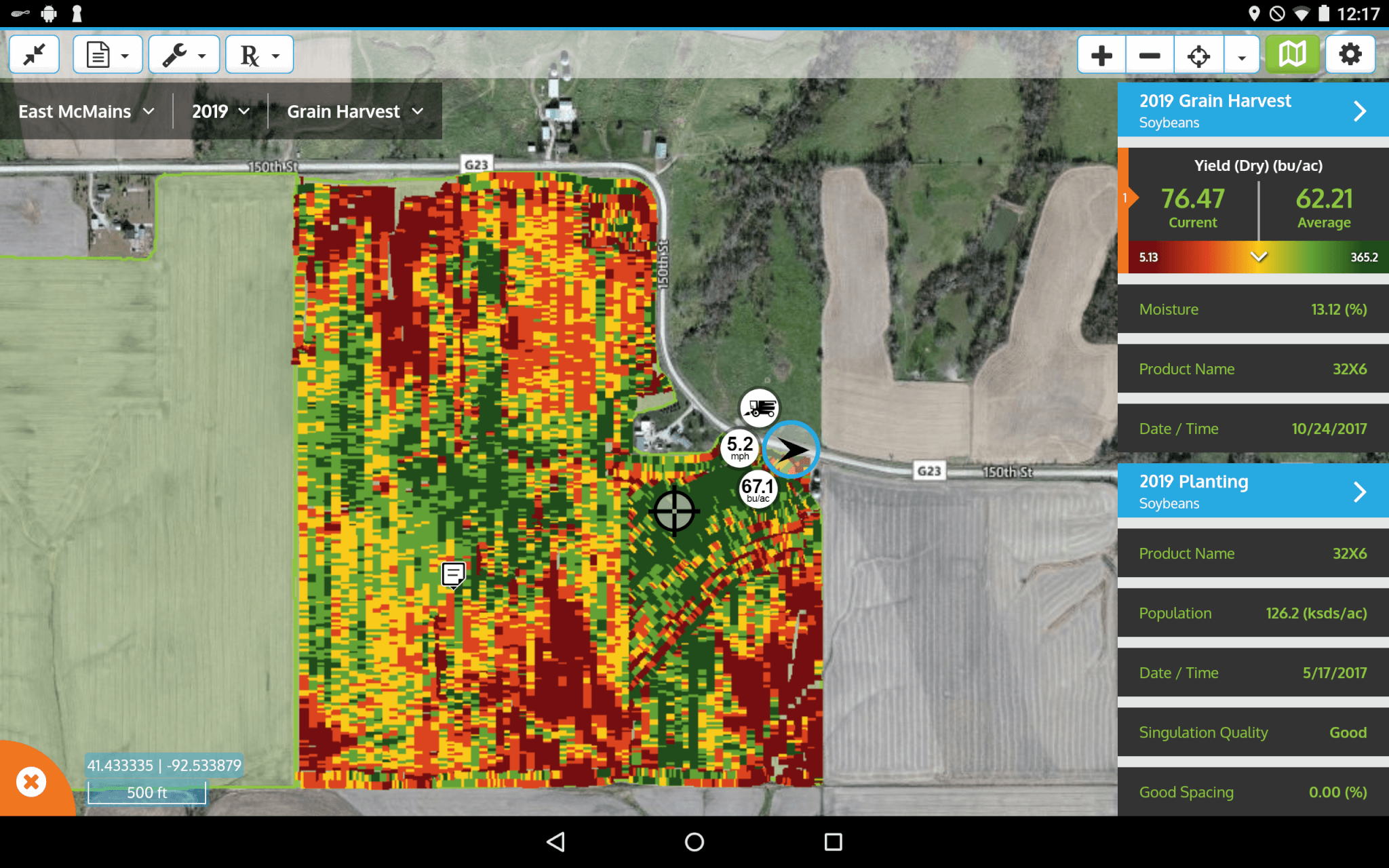
View Maps From 3rd Party Displays
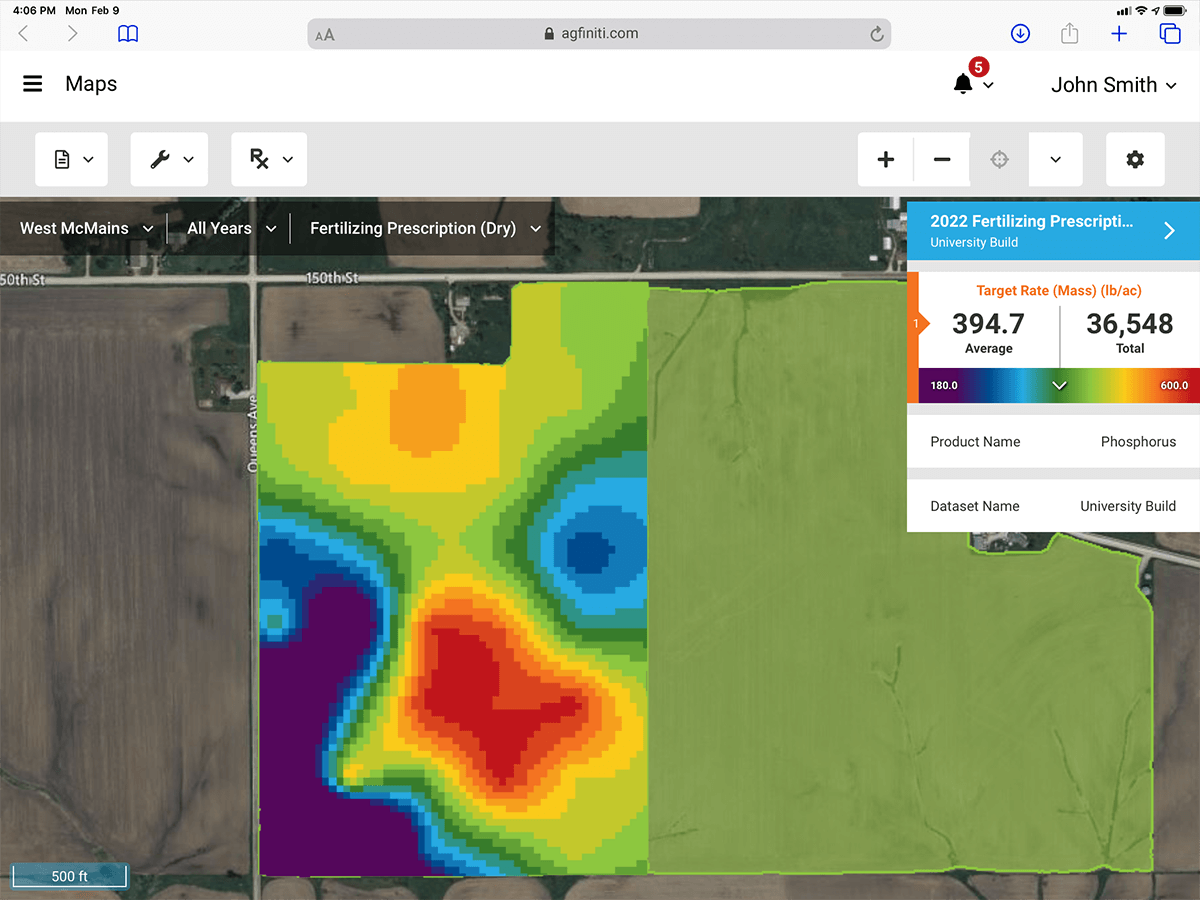
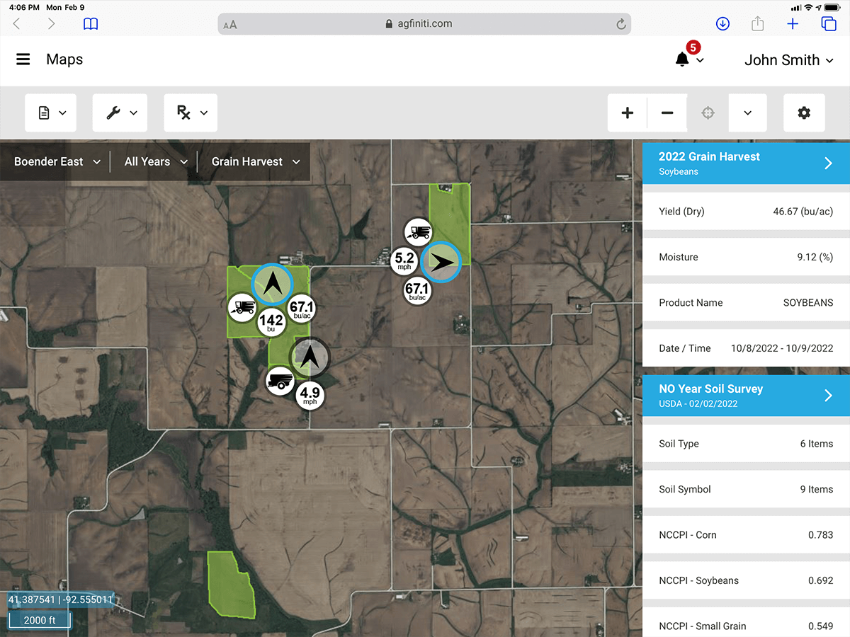
Run a mixed-fleet and want your maps all in one convenient place? Now you can upload and view maps and reports for many of the latest 3rd party displays instantly within AgFiniti.
Combined with the power of SMS Software, it’s the most versatile platform for gaining insights and decision making across your entire farm.
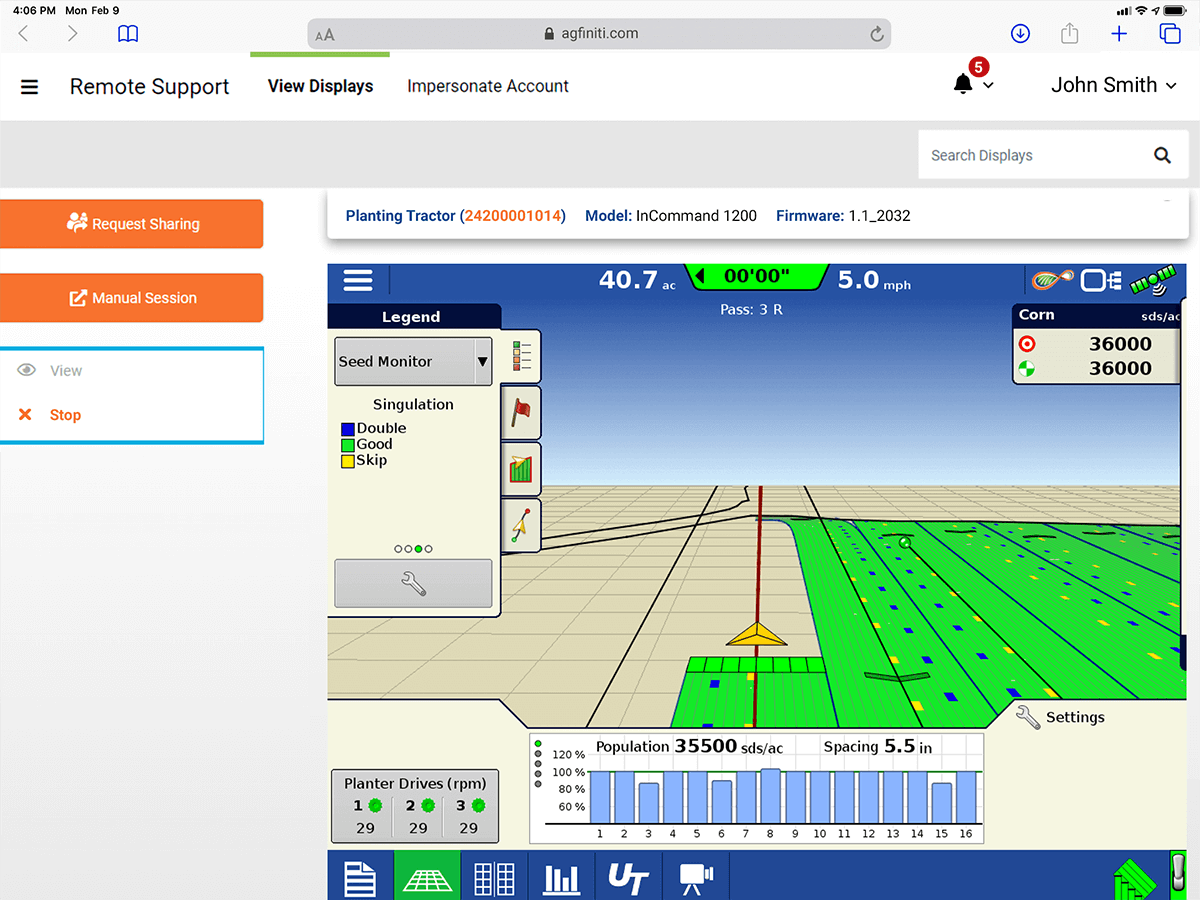
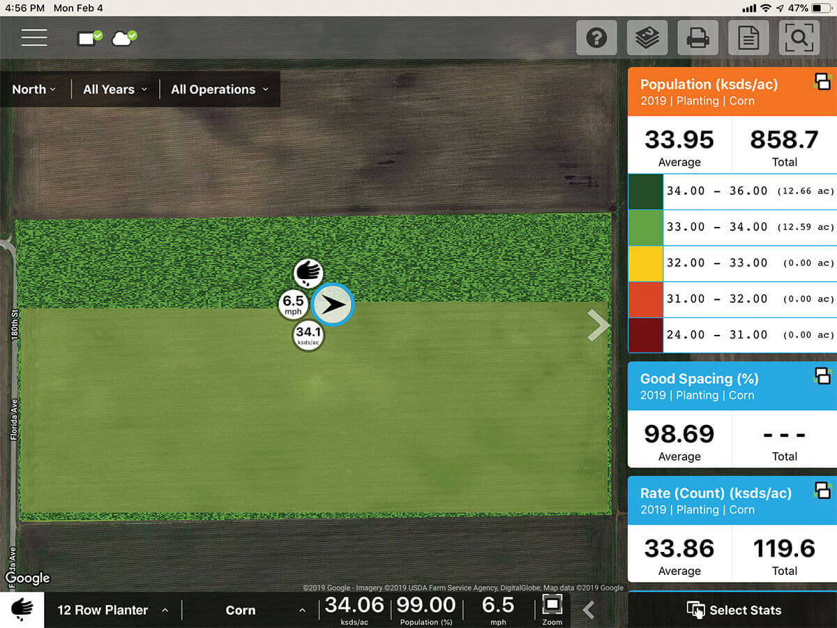
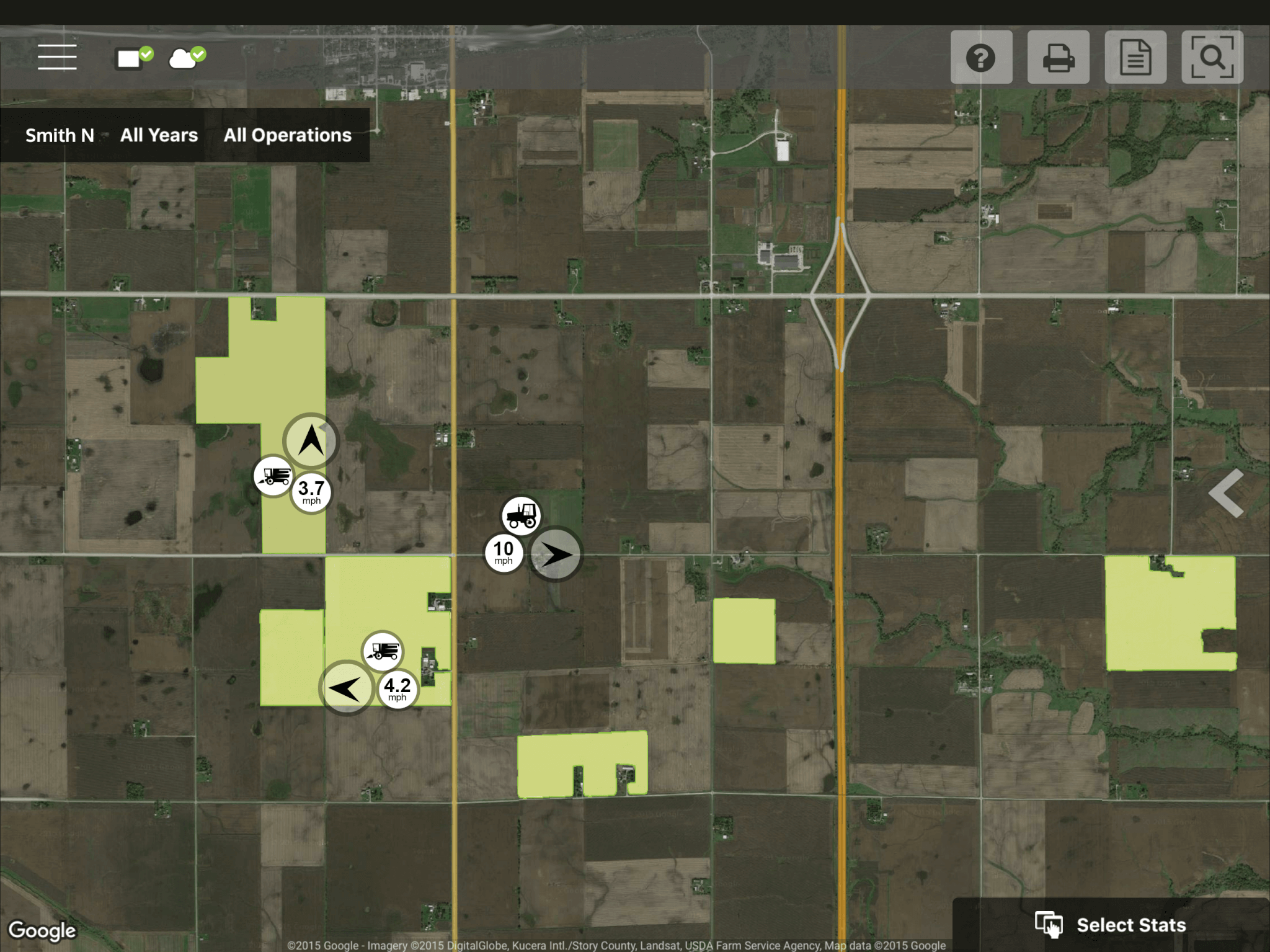
Live Information for In-Field Decisions
Live Information for In-Field Decisions

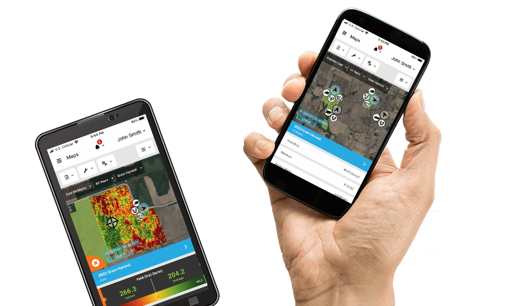
Everything is in your pocket
With AgFiniti, your entire operation is accessible anywhere, anytime you need it.


Connect Your Entire Harvest Operation.
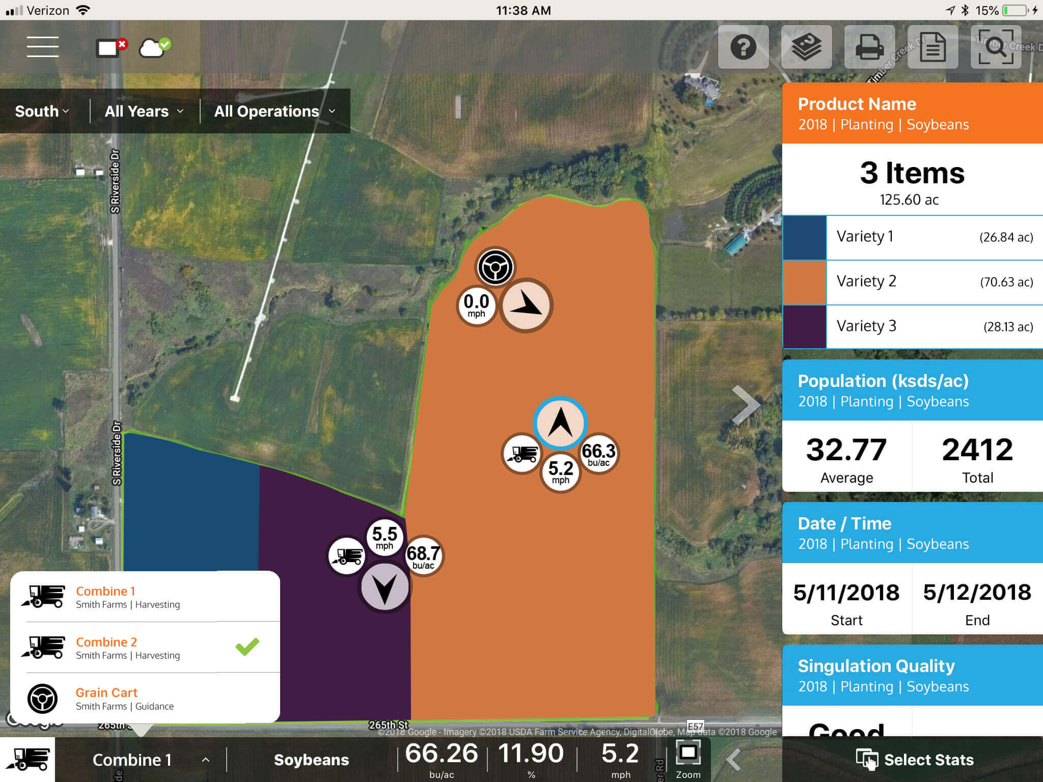
Ag Leader combined full farm connectivity with autosteer to seamlessly connect the grain cart and combine and all supporting vehicles for maximum productivity.
Need a skilled grain cart operator? Learn more about CartACE.
Ready to Connect Your Operation?
Free
- View data on the go with AgFiniti Mobile for iPad:
- » View your maps anytime, anywhere
- » Sync with InCommand displays
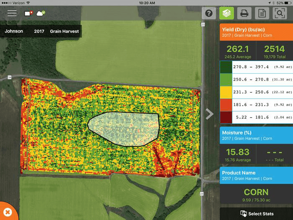
- » Overlay maps to identify trends
- » Basic analysis tools like queries and field summaries
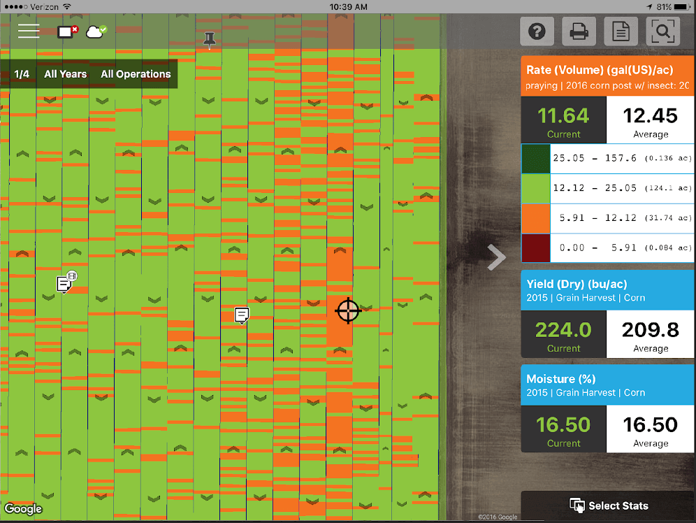
- » Take pictures and notes
- » Print maps/reports
- » Email files
- Additional free features for your display and phone:
- » Wireless file transfer (up to 5GB) with supported displays
- » Share files individually or automatically with the AgFiniti app
- » Automatic firmware updates
- » Background satellite imagery on your display
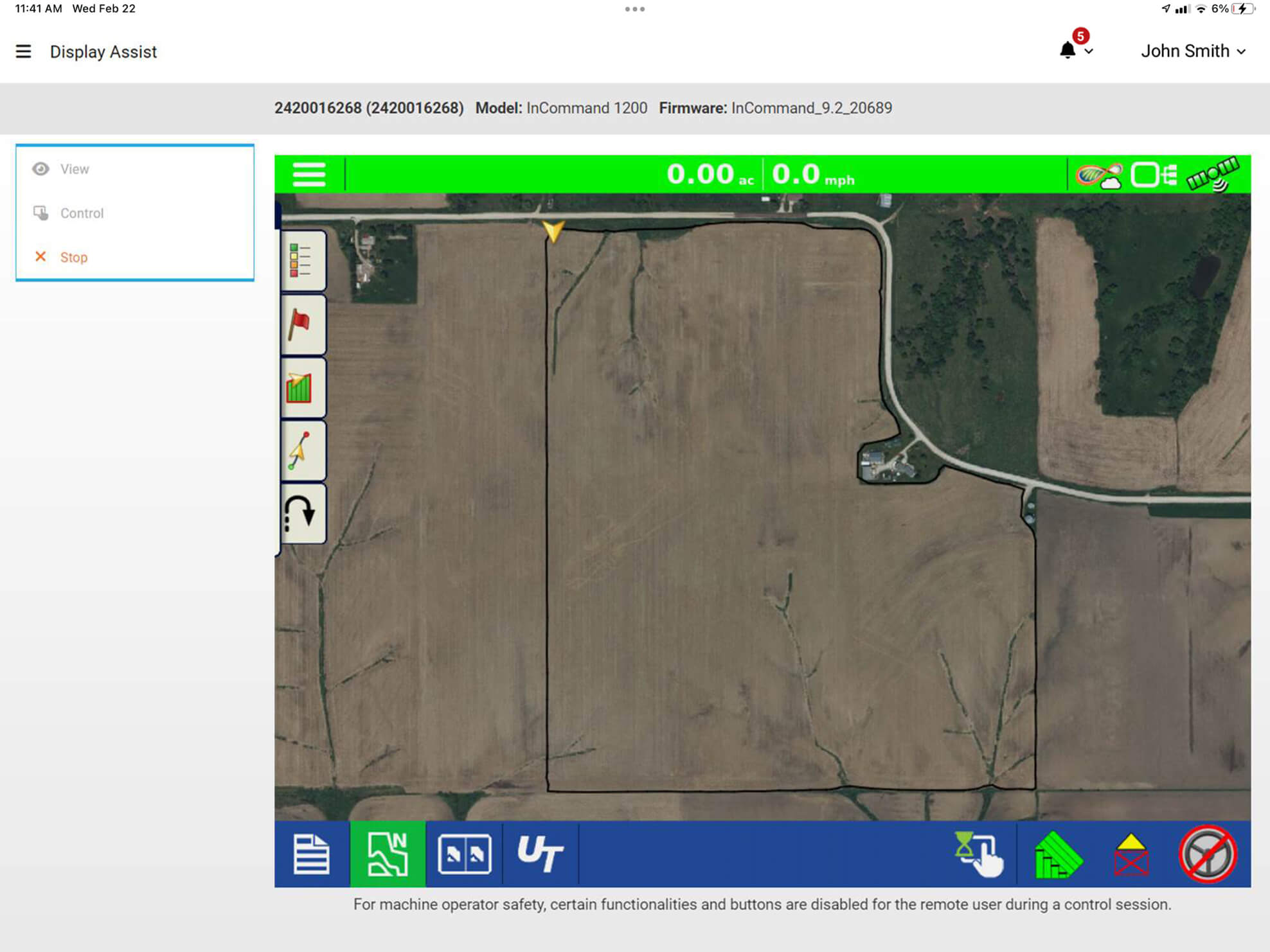
- » Allow your display to be remotely viewed and controlled
AgFiniti Essentials
- Connect your entire operation for real-time decision support:
- » View field progress with live maps and key stats*
- » Sync displays with information like configurations, boundaries, and guidance lines*
- » Easily track the location of all machines and personnel in your operation
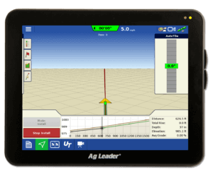
- » View and control InCommand displays remotely
- » CartACE*
- » Sync files with John Deere Operation Center, Climate FieldView, CNH 3rd-party applications, and others that have integrated with the AgFiniti API
*requires displays to be unlocked with DisplayCast
- Data management on any device:
- » Sync maps across all AgFiniti apps for viewing anytime, anywhere
- » Create and share simple prescriptions
- » Take pictures and notes
- » Print Reports
- » Share files individually or automatically
- » Simple data editing and management
- » Connect to 3rd party applications, such as John Deere Operations Center and Climate FieldView or upload all your maps in one place
- » Cloud storage (6000 acres and 250 GB, additional acres and storage available for purchase)
- Analysis:
- » Overlay maps to easily identify trends
- » View yield by hybrid, soil type and population
- » Generate equation-based prescriptions**
- » View automatically generated multi-year analysis**
**Requires a Prescriptions and Multi-Year Analysis license – $0.35/ac
Try AgFiniti Free For 30 days!


